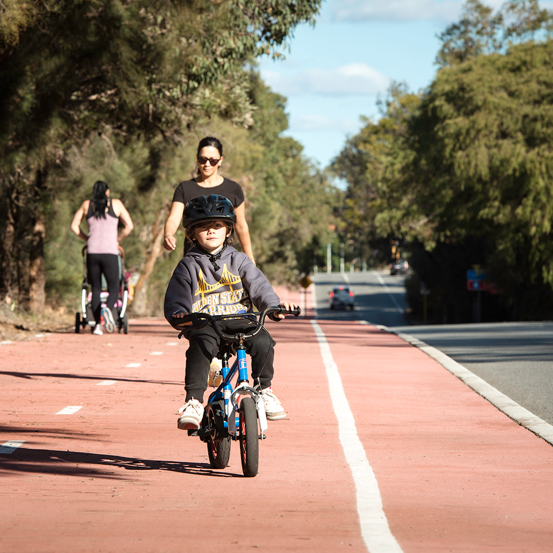
Principal Shared Paths help you get around your community.
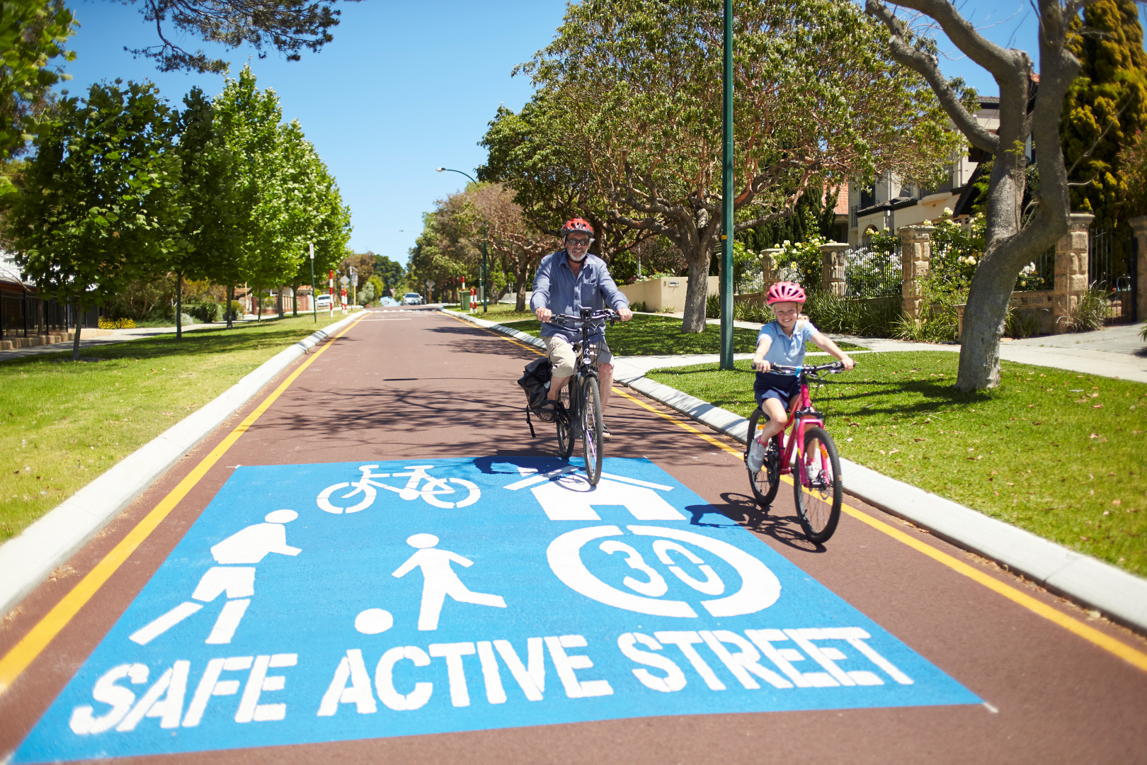
Safe active streets create friendlier and safer streets for walkers and cyclists.
WABN Grants are an initiative of the WA State Government, administered by DTMI.
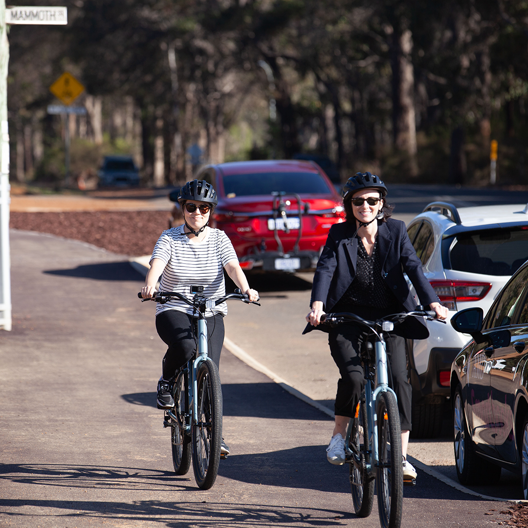
The Long Term Cycle Network improves cycling networks across WA regions and cities.
Latest Active Transport news
Consider your travel options to and around Fremantle
15 Jul 2026
While works continue on the new Fremantle Traffic Bridge, consider leaving the car at home and finding cheaper and more active ways to travel.

Walk, wheel, ride and more with the new Trails WA app
14 Jul 2026
Trails WA has launched a new app to help you discover, plan and experience trails across Western Australia.

Collecting, using and sharing data to enhance WA’s transport future
29 Jun 2026
We turn transport data into practical insights that help shape smarter decisions, improve systems, and support thriving communities across Western Australia.
