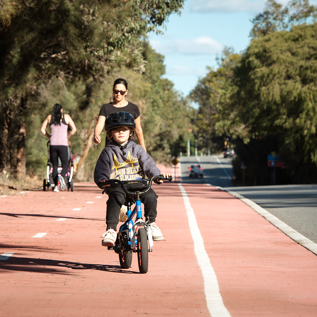
Principal Shared Paths help you get around your community.
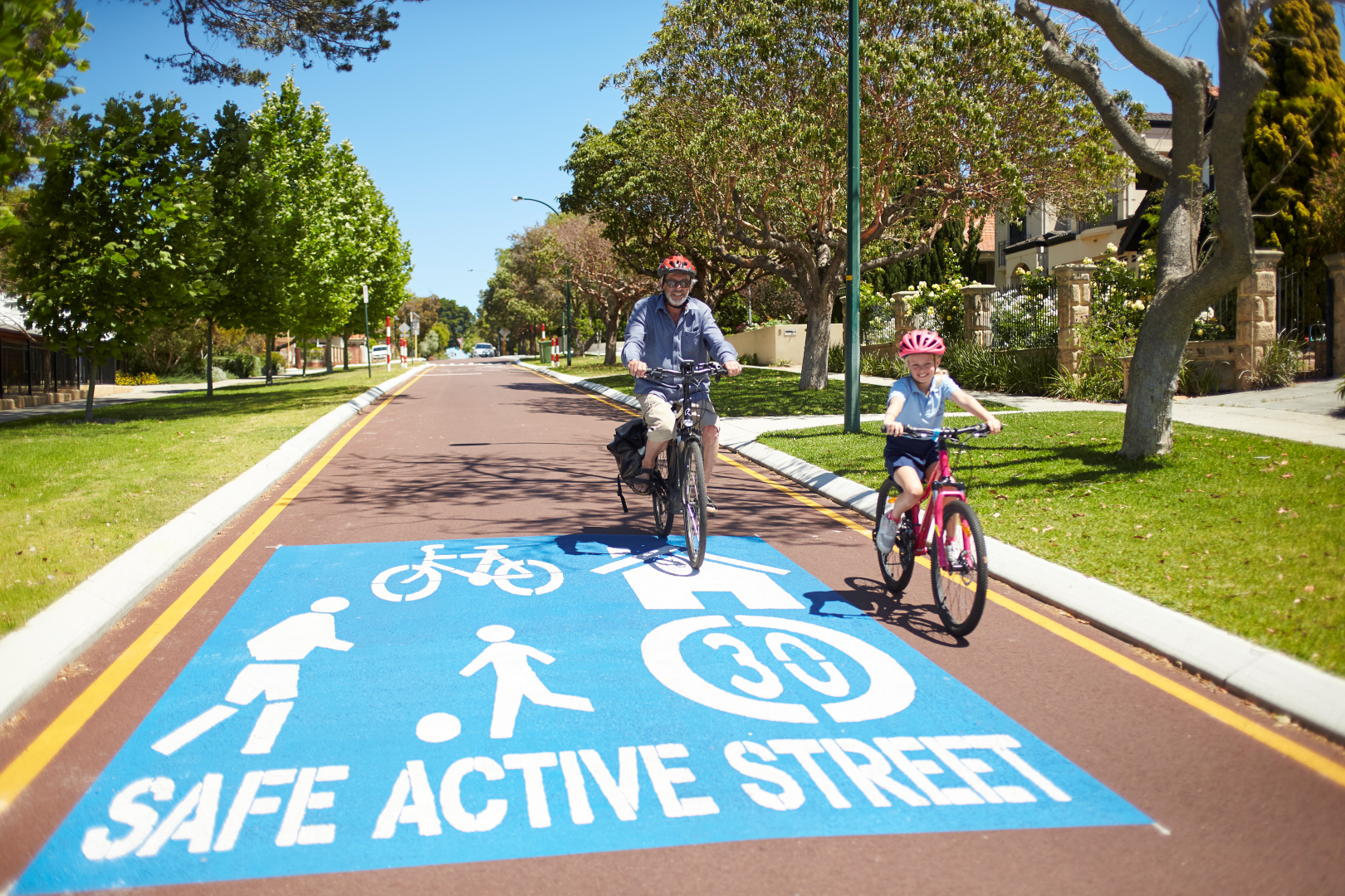
Safe active streets create friendlier and safer streets for walkers and cyclists.
WABN Grants are an initiative of the WA State Government, administered by DTMI.
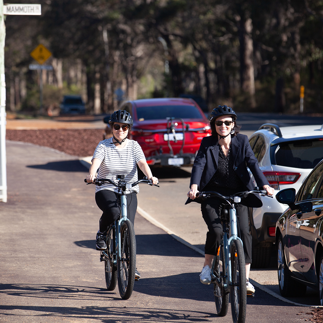
The Long Term Cycle Network improves cycling networks across WA regions and cities.
Latest Active Transport news
Focus on eRideable injury prevention
28 May 2026
DTMI recently presented at a webinar focussing on the aspirations and strategies to prevent eRideable injuries in Western Australia.

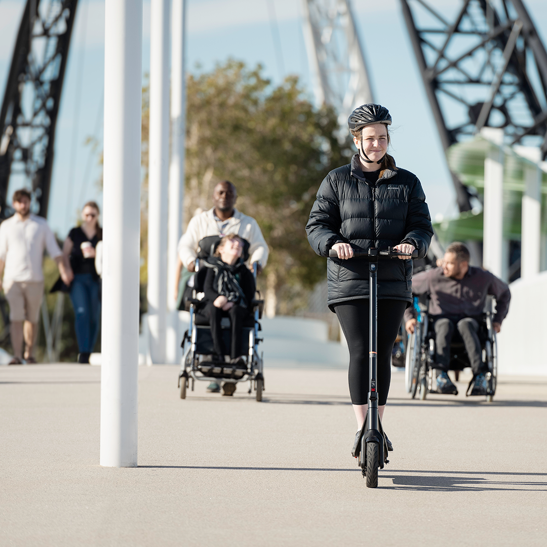
Boorloo Bridge an iconic WA destination
20 May 2026
Have you travelled along Perth’s latest landmark bridge yet? Boorloo Bridge soars across the Derbarl Yerrigan (Swan River), connecting Victoria Park to East Perth with stunning river views.

National Walk Safely to School Day
18 May 2026
Support the children in your life to get active for the school journey. This Friday 22 May 2026 is National Walk Safely to School Day, an Australia-wide initiative that encourages kids to walk for the trip to school.
