Popular topics
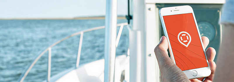
Get the Deckee app for the latest weather conditions, safety information and alerts for WA.
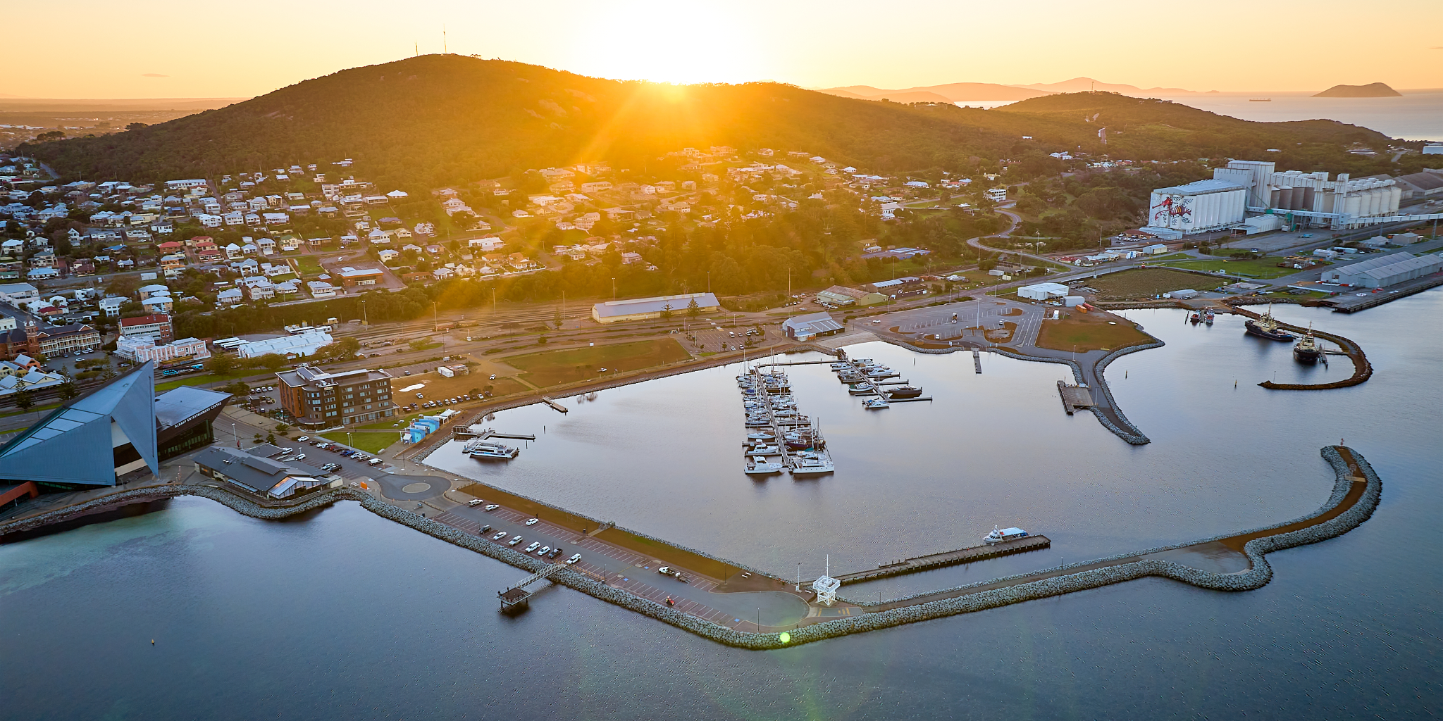
Recreational moorings now available for casual, short-term use in some of WA's best boating locations,
Find rules, safety advice and guides for boating in WA.
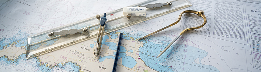
DTMI publishes nautical charts of the WA coastline for use by recreational and local commercial vessels.
Latest Marine news
Buoyed by our success of Margaret River Pro surf event
27 May 2026
A successful collaboration between DTMI Maritime and DPIRD Fisheries saw this year’s World Surf League Margaret River Pro event reach new safety heights.

Our services unavailable during system upgrades 29 May – 2 June 2026
11 May 2026
To enable our teams to implement the system upgrades, our services will be unavailable from 6pm Friday, 29 May until 6am Tuesday, 2 June 2026.

New lifejacket checker could be a life saver
20 Apr 2026
A lifejacket can save your life but only if it is the correct type, size and fit for the activity, location and person wearing it.

Subscribe to Boating communities
Stay up to date with all the latest boating news and advice straight to your inbox.