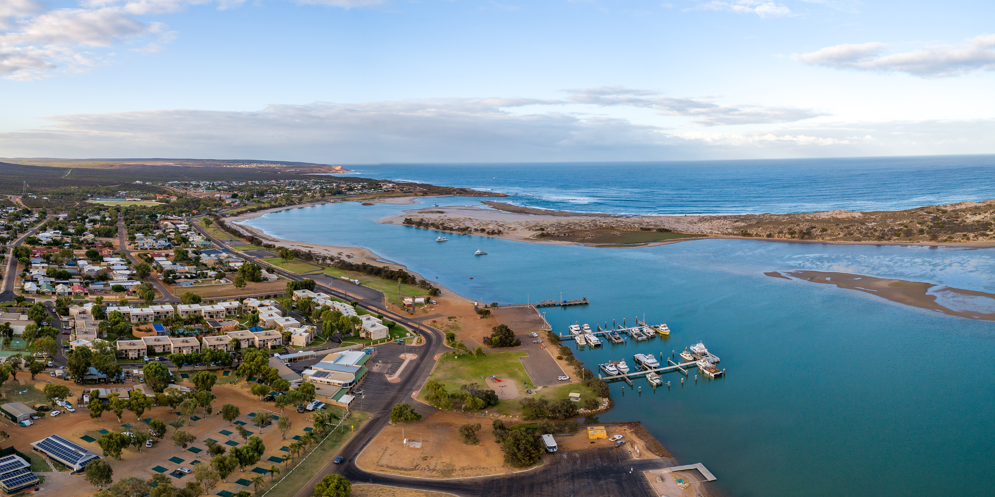
The Kalbarri Maritime Facility is located close to the Murchison River ocean entrance, providing easy access to the Indian Ocean.
The facility includes a land backed wharf, jetty and fuelling facility. There are 32 secure and convenient boat pens available for commercial and recreational vessels.
The parking, public toilets, and a boat ramp are operated by the Shire of Northampton.
Kalbarri is a small fishing town and a popular holiday destination renowned for its coastal scenery, national park, fishing, swimming and whale watching.
Facilities
Service jetty
There is a service jetty that provides lighting, single and three phase power, water, and fuelling facility.
Wharf load limits
- Berth load: 50 tonne displacement vessel berthing at a maximum of 0.3 m/s at a maximum approach angle of 15°
- Stack load: 750 kg/m²
- Crane load: 20 tonne lifting capacity
- Vehicle load: total 18 tonne gross
Land back wharf
The concrete wharf is located between the jetty and boat pens and provides lighting, power and water.
Boat ramp
There is a single lane boat ramp, floating universal access pontoon and sealed car and boat trailer park to the northeast of the boat pens that is operated by the Shire of Northampton.
Fuelling facility
Fuel is available from the service jetty. This service is provided by Baileys Marine Fuels. A Baileys fuel card is required.
Phone: 1300 224 539
Email: baileys@ampol.com.au
Parking
There is a sealed public car park adjacent to the boat pens.
Toilets
There a public toilet block located to the south-east of the service jetty
Expired flare disposal
Flare disposal is available nearby at the Kalbarri Volunteer Sea Search and Rescue Group, Grey Street, Kalbarri.
Waterway entrance channel
Latitude: -27.708 S
Longitude: 114.159 E
Boat pens
Number of pens
32 pens
Pen lengths
Options include:
- 4 x 12m pen
- 4 x 15m pen
- 20 x 18m pen
- 4 alongside berths
Services
Single and three phase power, lighting and water.
Fees and charges (2025/26)
See below for current fees at Kalbarri Maritime Facility.
Fixed pens with a walkway are charged per metre of pen length. The fixed alongside berths are charged per metre of the vessel length.
All fees quoted are inclusive of GST and should be paid in advance.
12 months
| Fee description | Amount |
|---|---|
| Fixed pen with walkway | $588.80 |
| Fixed alongside berth | $588.80 |
3 months or more per month
| Fee description | Amount |
|---|---|
| Fixed pen with walkway | $53.70 |
| Fixed alongside berth | $53.70 |
1 month
| Fee description | Amount |
|---|---|
| Fixed pen with walkway | $88.30 |
| Fixed alongside berth | $88.30 |
1 week
| Fee description | Amount |
|---|---|
| Fixed pen with walkway | $26.45 |
| Fixed alongside berth | $26.45 |
User installed and maintained harbour swing mooring
| Fee description | Amount |
|---|---|
| 12 months | $147.20 |
| 3 months or more per month | $13.40 |
| 1 month | $22.05 |
| 1 week | $6.60 |
| 1 day | $2.90 |
Other facility fees
| Fee description | Amount |
|---|---|
| Electricity supply - metered | COST |
| Water supply - metered | COST |
| Rubbish removal - including any not placed in supplied bins or containers not removed; waste oil in excess of 150 litres; or rubbish from source other than fee paying vessel. | COST |
Service jetty fees
There are fees and conditions for use for service jetties and wharves at DTMI managed maritime facilities.
Find out more about service jetty and wharf fees.
Apply for a boat pen
DTMI’s vessel accommodation is offered on a casual, short term and long term basis and is always in high demand. Submit the enquiry form to find out if a pen is available.
Weather and conditions
Before heading out on the water, be sure to check the current:
Bureau of Meteorology (BOM) resources: